Neighbors predict proposed development will multiply flood woes
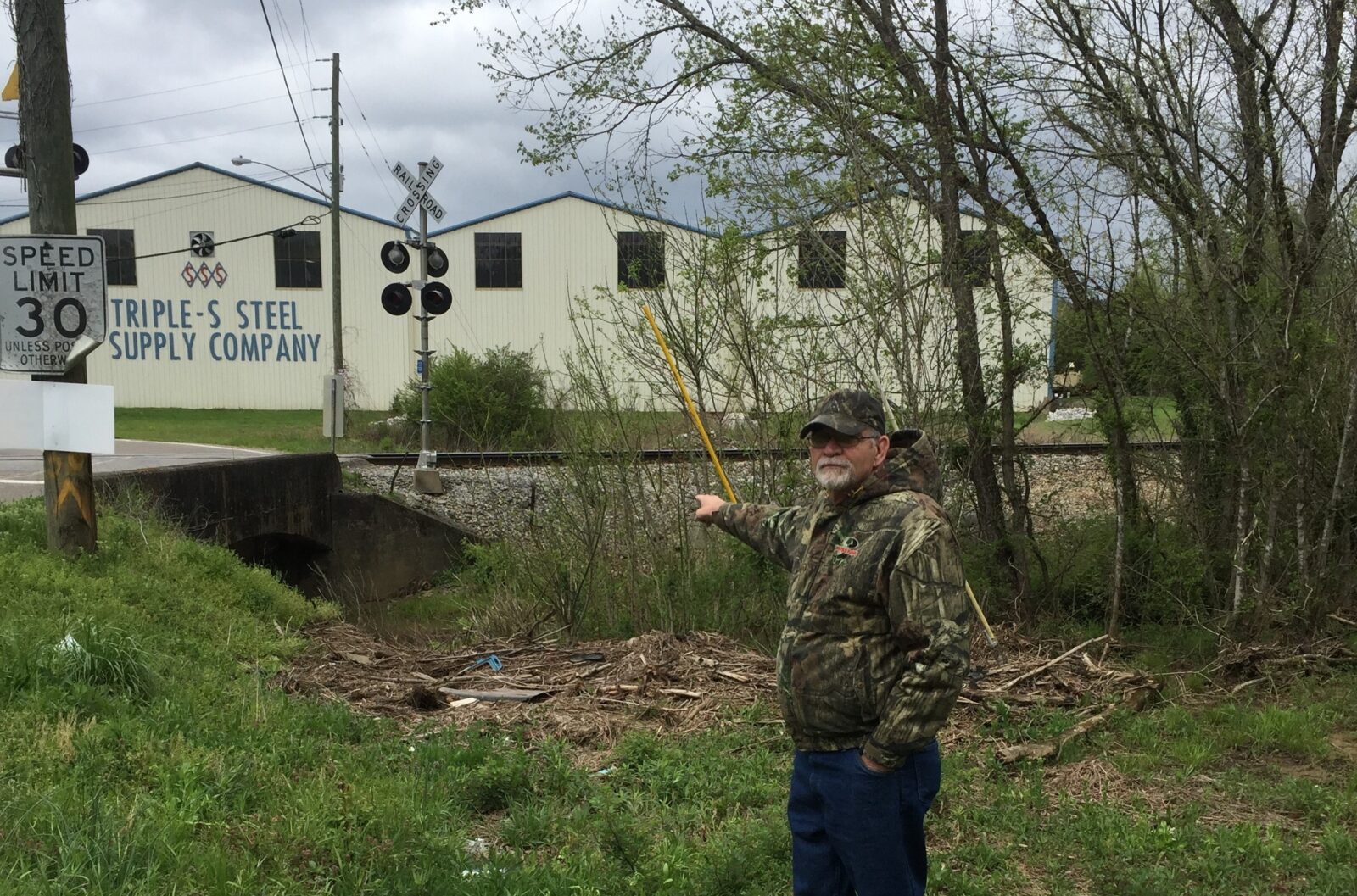
High water worries are nothing new for Arthur Parris and his extended family. They’ve lived on the green bottomlands along the banks of White’s Creek at the corner of Beverly Road and Oakland Drive for generations, and dealing with flooding is a permanent fact of their lives.
“Water comes a couple of feet over the bridge sometimes. It’s been in my next-door neighbor’s basement two or three times, and it’s gotten two cinder blocks high in my basement,” Parris said.
Now, he and his neighbors believe the water will get deeper as a result of the Metropolitan Planning Commission’s March 8 vote to amend the North Sector Plan and rezone the property so a developer can proceed with plans to build a subdivision on the steep, wooded hill on the south side of the creek in the spot the neighborhood calls the “swamp and the bluff.” For many years, the property was zoned Agricultural, which only allows one dwelling unit per acre. It is located just outside the city limits across the creek from a once-thriving industrial park now fallen on hard times.
MPC’s professional planners recommended that the board deny developer Randy Guignard’s request to rezone the 88.5-acre parcel from Agricultural to Low Density Residential.
“The North Sector Plan shows property as Agricultural, one unit per acre. When you talk about rough properties, this is about as rough as I’ve seen,” said planner Mike Brusseau. “We do not have information to be able to recommend any more.”
But after hearing Guignard’s pitch, which included an offer to work with Legacy Parks Foundation to build trails and a greenway in the flood plain, the board voted 9-5 to amend the sector plan and to rezone the property to allow Guignard to build up to 242.5 houses – if he comes up with “creative” ways to protect the property, particularly the slope and the stream.
Guignard also emphasized the need for new homes within the price range he’s aiming for.
“There are only 11 houses for sale in the 37918 zip code in the $200,000-230,000 range,” he said.
Commissioner Scott Smith, himself a developer, was a no vote. He said he worries about the consequences of this project:
“You’ve got to build a road at a 30 percent slope adjoining a floodway…” he said, predicting “A big opportunity to make a big mess.”
So, the MPC decision has got Parris and his family worried. What will scraping off the ground cover to accommodate a ¾-mile road and 242.5 new homes do to their flood problems?
Nothing good, said Parris.
“I think MPC themselves even said the property wasn’t that good, then they turned around and they gave him 240-something units. If they do that, it’s going to kill us – and not only us. If they clean all that (ground cover) out, this water’s going to be down there on Broadway and the money the city’s spent on Broadway (flood improvements) is just going to be wasted.”
White’s Creek joins First Creek near Old Broadway in Fountain City, momentarily emerging from the culverts that imprison it along Greenway Drive before sending the water on southward to the Tennessee River. This confluence is ground zero for the floods that plague the Broadway corridor from Fountain City to the Broadway Shopping Center, damaging homes and businesses along the way. Downstream flooding didn’t come up when the MPC commissioners quizzed Guignard about his plans.
Next, Guignard must come up with a concept plan that will satisfy MPC. In the meantime, Parris, whose granddaughter dreams of one day building a home of her own on the family’s 5.5 acre parcel, can only wait and worry.
“If it keeps flooding, there won’t be anyplace to build – or maybe we could build up on stilts.”
The vote tally:
Yes: Beth Eason, Mike Crowder, Art Clancy, Becky Longmire, Charlie Thomas, Jeffrey Roth, Chris Ooten, Charles Lomax, Herb Anders
No: Gayle Bustin, Laura Cole, Mac Goodwin, Janice Tocher, Scott Smith


